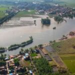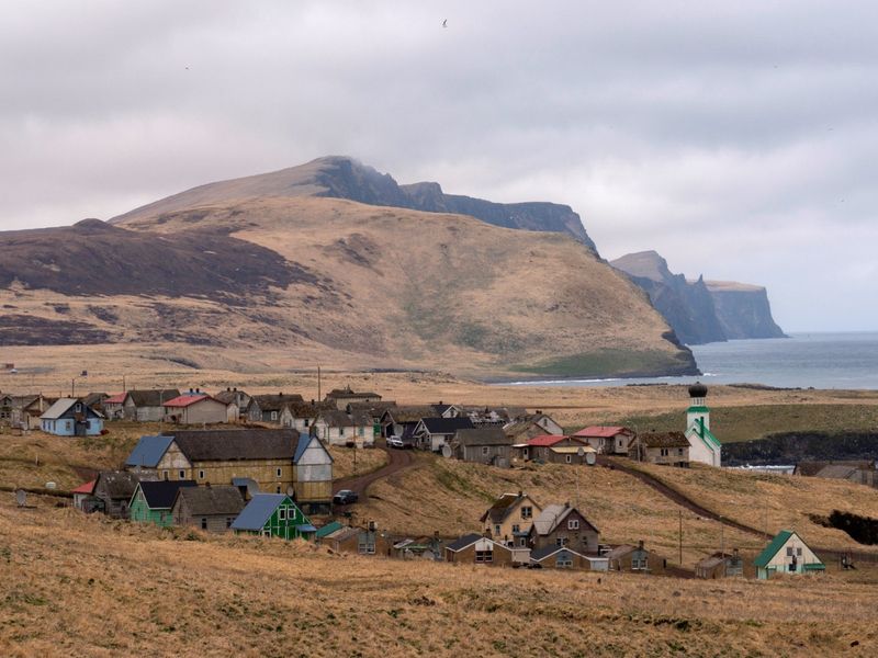
Bering Sea, February 23 (ANI): An earthquake of magnitude 6.1 rocked Bering Sea on Monday, a statement by the National Center for Seismology (NCS) said.The earthquake occurred at a depth of 45km.In a post on X, the NCS said, “EQ of M: 6.1, On: 23/02/2026 10:41:52 IST, Lat: 52.81 N, Long: 170.08 W, Depth: 45 Km, Location: Bering Sea.”EQ of M: 6.1, On: 23/02/2026 10:41:52 IST, Lat: 52.81 N, Long: 170.08 W, Depth: 45 Km, Location: Bering Sea.For more information Download the BhooKamp App https://t.co/5gCOtjdtw0 @DrJitendraSingh @OfficeOfDrJS @Ravi_MoES @Dr_Mishra1966 @ndmaindia pic.twitter.com/PahrqtEjsR— National Center for Seismology (@NCS_Earthquake) February 23, 2026The central region of the Bering Sea is virtually aseismic. In the north, a wide diffuse zone of seismicity extends from western Alaska across the Bering Strait into eastern Russia. This zone is believed to mark the northern boundary of the Bering microplate. The southern edge of the Bering Sea is marked by the Aleutian Arc, where seismicity is associated with the ongoing subduction processes, as per a study by the University of Alaska.In 1991, a magnitude 6.6 earthquake occurred about 210 km (150 miles) to the southeast of the April 30, 2010 earthquakes. The 1991 and 2010 earthquakes indicate N-S extension and E-W compression of the crust.The source area of the April 30, 2010 event might be structurally linked to the graben-like structure that underlies the headwall area of Zhemchug Canyon, which is the largest submarine canyon in the world (by volume). Both the mainshock and largest aftershock are strike-slip earthquakes. The structural grain of the headwall structures is NW-SE, parallel to the left-lateral nodal plane of the April 30 events. The right-lateral nodal plane is parallel to the crustal fabric of the hypothetical offshore continuation of the great family of NE-SW trending strike-slip faults of western Alaska (Kaltag, Kobuk, Denali, etc.). If these crustal structures continue offshore, they may be the source of the April 30 earthquakes, as per the University of Alaska.The world’s greatest earthquake belt, the circum-Pacific seismic belt, is found along the rim of the Pacific Ocean, where about 81 per cent of our planet’s largest earthquakes occur. It has earned the nickname “Ring of Fire,” the USGS states.The belt exists along boundaries of tectonic plates, where plates of mostly oceanic crust are sinking (or subducting) beneath another plate. Earthquakes in these subduction zones are caused by slip between plates and rupture within plates. Earthquakes in the circum-Pacific seismic belt include the M9.5 Chilean Earthquake [Valdivia Earthquake] (1960) and the M9.2 Alaska Earthquake (1964). (ANI)(This content is sourced from a syndicated feed and is published as received. The Tribune assumes no responsibility or liability for its accuracy, completeness, or content.)