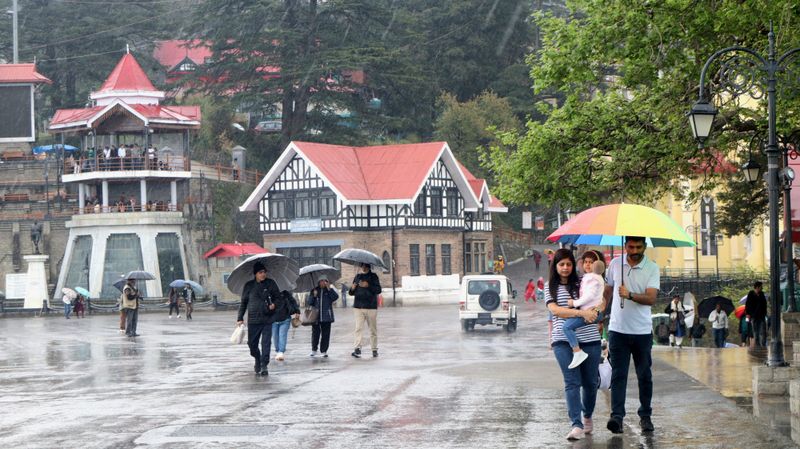

While the wet spell over the north-western region of the country continued on Saturday owing to western disturbance which started on April 2, India Meteorological Department (IMD) today said that a successive western disturbance will affect the region April 7 and 8 resulting in hailstorm over Jammu and Kashmir, Himachal Pradesh, Punjab, Haryana Chandigarh and Delhi.The day temperatures will remain normal to below normal over most parts of the country for the next one week thereby bringing respite from soaring temperatures. On Saturday, except Western Himalayan region, Northwest and Northeast India, the day temperatures were in the range of 34-40 degrees Celsius. The highest maximum temperature of 41.6 degrees Celsius was reported at Jharsuguda in Odisha.Meanwhile the night temperatures were in the range of 12-18 degrees Celsius over Jammu and Kashmir, Himachal Pradesh, Punjab, Haryana, Chandigarh, East Madhya Pradesh, East Rajasthan, Konkan and Goa, Assam, Meghalaya and Nagaland. In the remaining parts of the country, the minimum temperatures were in the range of 18-25 degrees Celsius. The lowest minimum temperature of 14.6 degrees Celsius was observed at Bathinda in Punjab on the night of Saturday.West Bengal, Sikkim, Bihar will receive rains on April 7 and 8, Jharkhand from April 5 to 7.IMD has earlier forecasted that in the period April-June, most parts of East and East Central India which include states such as Jharkhand, Chhattisgarh, Odisha, and Bihar will record above-normal number of heatwave days.In Delhi, there has been a fall in maximum temperatures up to 2-4 degrees Celsius and fall in minimum temperatures up to 1-2 degrees Celsius during the past 24 hours (April 3-4). The minimum temperatures are in the range of 18-21 degrees Celsius and maximum temperatures were in the range of 33-34 degrees Celsius.