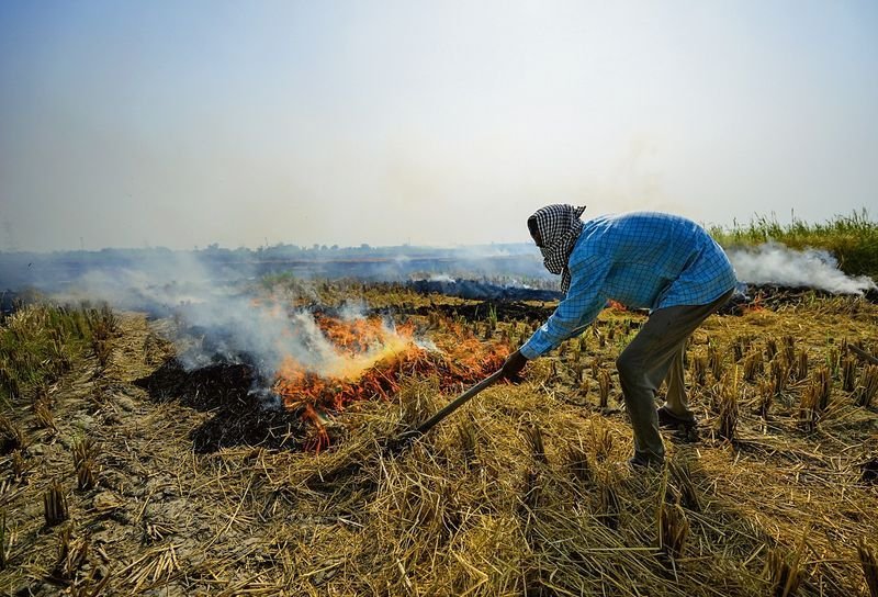

To curb air pollution during winters in Delhi-NCR, the Commission for Air Quality Management in NCR and Adjoining Areas (CAQM) has begun to assess the intensity of stubble fires in Haryana and Punjab instead of just relying on fire counts.A senior CAQM official told PTI that the statutory body is also focusing on measuring land area affected by stubble fires, called burnt area, and having a well-defined protocol in place to do so.These steps are being taken after multiple recent reports and studies emerged saying that the use of fire counts, meaning satellite-derived estimates of active fires, could be unreliable.In December 2025, Environment Minister Bhupender Yadav claimed that stubble burning events in Punjab and Haryana had reduced by 93 pc and 91 pc respectively since 2021.However, a study by iForest, a research outfit that had used data from a different satellite to calculate burnt area, found that the reduction was more gradual.In Punjab, between 2022 and 2025, it fell from a peak of 31,447 sq km to 20,000 sq km – a reduction of 37 per cent.In Haryana, the burnt area declined from a peak of 11,633 sq km in 2019 to 8,812 sq km in 2025 – a 25 per cent reduction.The study argued that the ministry’s data was limited because the satellites used to track farm fires only at fixed times of the day, from 10.30 am to 1.30 pm. Their sensors are only able to capture active fires and are unable to compute the actual number of fires over, for instance, 24 hours.The CAQM official said, “Given that taking account of fire counts has proven to be a limited method, there is a need for the assessment of burnt area and we are coming up with a protocol for it.” The official added that calculating the intensity of stubble fires would help assign accountability to those who are responsible for fires.“There is a difference between the intensity of burning of, say, 80 kg and 20 kg of stubble. Therefore, we need to measure intensity and hold people accountable based on it,” the official added.