
A weather system, named as Storm Pedro, is forecast to bring rain and snow to Britain today and tomorrow. The naming comes from Meteo France, the equivalent to the Met Office in France, where the storm is expected to have a bigger impact.
Despite the ongoing cold and wet conditions, forecasters are predicting “much milder” temperatures for the UK by the end of the week.But before then, the snow set for the UK is forecast for the hills while the impact of Pedro on this side of the Channel is expected to be relatively light.However, the Met Office warned there is still a small chance of disruption caused by flooding, snow and strong winds.
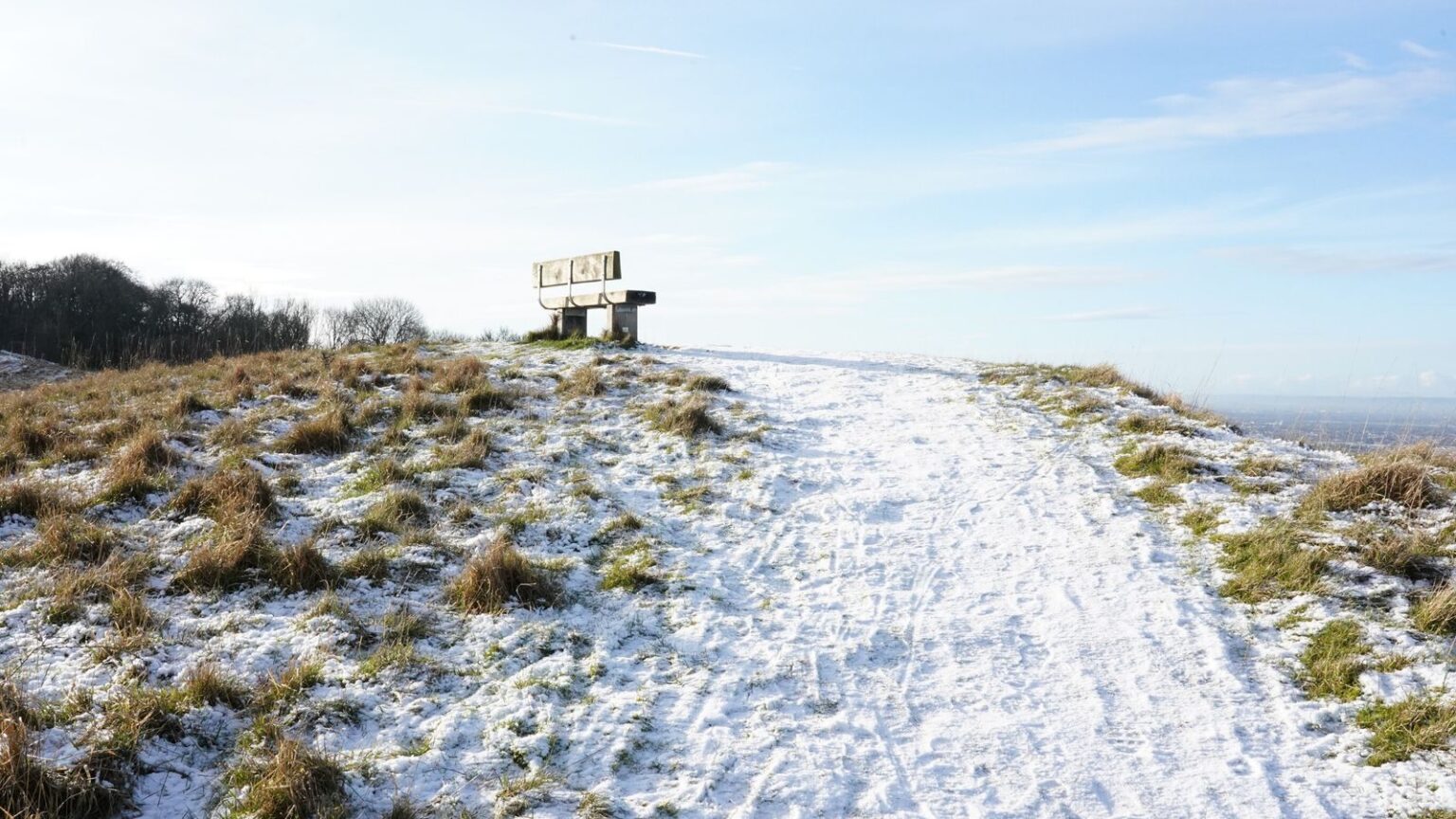
The conditions could see flights and train services cancelled and leave vehicles stranded on roads, the agency added.There are currently yellow warnings for rain in southern England, with hill snow forecast for Wales and the West Midlands.
Many in the south of England faced a wet start on Wednesday, with a yellow warning for heavy rain in force for an area stretching from Cornwall to Kent until 8am on Thursday.Some 10-20mm of rain is expected to fall widely, although areas near the south coast could see up to 30mm of rain, while Dartmoor, Devon, could have as much as 50mm, the Met Office said.
A separate yellow warning for snow in the West Midlands and Wales will run from 4pm on Wednesday until 6am on Thursday.In Northern Ireland, outbreaks of rain, hill snow and strong gusts of up to 50-55mph winds are expected to bring disruption – with a yellow warning in force until 8pm on Wednesday.Senior Met Office meteorologist Craig Snell said: “By the time we get into the late part of the day on Thursday, by that stage, the winds should be clearing away.”It’s all change after that, by the weekend it will be feeling much, much milder with temperatures reaching the low-to-mid teens, if we see some sunshine.”There will be further spells of wind and rain but most of us will certainly see an uplift of temperatures as we go into the weekend.”