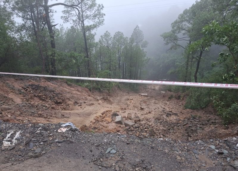

Landslide susceptibility mapping (LSM) undertaken by geologists along the Solan-Shimla highway in Himachal Pradesh has revealed that about 60 per cent of the 45-km stretch falls under the moderate to very high-risk category.The LSM showed that 12.83 per cent of the study area falls under the very high susceptibility category, 21.97 per cent under high susceptibility and 26.58 per cent under moderate susceptibility. About 24 per cent of the stretch falls under low susceptibility and 14.57 per cent under very low susceptibility.Shimla, the capital of Himachal Pradesh, is a popular tourist destination with an ever-increasing influx of visitors and motor vehicles. The Chandigarh-Shimla National Highway, once a single-lane road, has been widened to four-lane dual-carriageway specifications. Solan, another major town in the state, lies roughly midway.The highway is a major supply line for food, fuel and essential commodities to Kinnaur and remote border regions. The area falls predominantly within seismic Zone IV and has significant potential for earthquake-related hazards, including landslides.“Human-induced activities, particularly road widening in the study region, hasten slope failure conditions due to geo-scientifically poorly assessed slopes and toe removal, which disturb the natural equilibrium of slopes and reduce their stability,” stated the study, which mapped the locations of 48 landslides.Conducted by researchers from Kurukshetra University, Kurukshetra; Banaras Hindu University, Varanasi; Netaji Subhash University of Technology, New Delhi; and NIIT University, Neemrana, the study was published by Springer Nature on August 24.India ranks at the top in the global landslide scenario, accounting for nearly 15 per cent of all reported landslide occurrences worldwide and about 31 per cent of all related fatalities from such events. Roughly 3.1 lakh square kilometres of landslide-prone area in the Indian subcontinent is located within the Himalayan belt.“In the current scenario, the Himalayan region is suffering from a higher frequency of landslides as compared to the other mountain regions,” the researchers said.The physical factors of this terrain are characterised by high relative relief, steep dip slopes, unstable geological structures, immature topography and triggering factors such as heavy precipitation during the monsoon.“Moreover, human interference such as extensive deforestation, infrastructure development, intensive cultivation and slope modification are key anthropogenic factors that trigger landslides in hilly regions,” the researchers said.