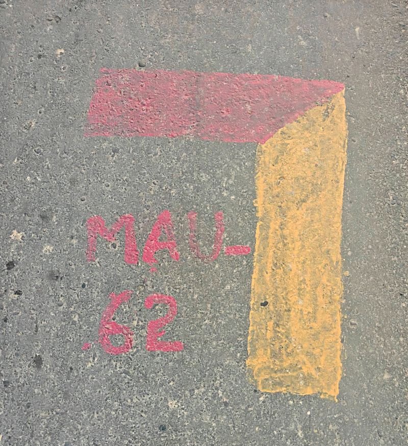

The state government has stopped the drone survey being conducted in the Maur subdivision here for preparation of a geographic information system (GIS)-based master plan, following strong objections from farmers and residents, who had been raising concerns over the exercise and demanding clarity from the administration.Sandeep Kumar, Senior Town Planner, Bathinda, said the government had stopped the drone survey and that no drone was currently being used for survey work anywhere in Bathinda district, either during the day or at night.“The government was being apprised of the concerns and difficulties surrounding the drone-based survey, while alternative methods were also being considered,” said the Senior Town Planner.He further said that the matter would be resolved soon in accordance with government directions and with the cooperation of people.The department has also appealed to residents not to believe rumours about drones being flown at night.The clarification comes days after the growing opposition to the survey in Maur and adjoining areas.The residents had been objecting to the mapping exercise amid fears that the markings being made on agricultural land and roads could eventually lead to land acquisition. The village residents, activists and farmer leaders had even once gathered at the Maur SDM office seeking clarification and had also warned of a protest.Earlier, the Town and Country Planning Department had claimed that the survey was intended only to collect existing land-use data for a GIS-based master plan and had nothing to do with land acquisition.The officials had said the plan would identify areas being used for agriculture, commercial activity, buildings, water resources, forests and roads.