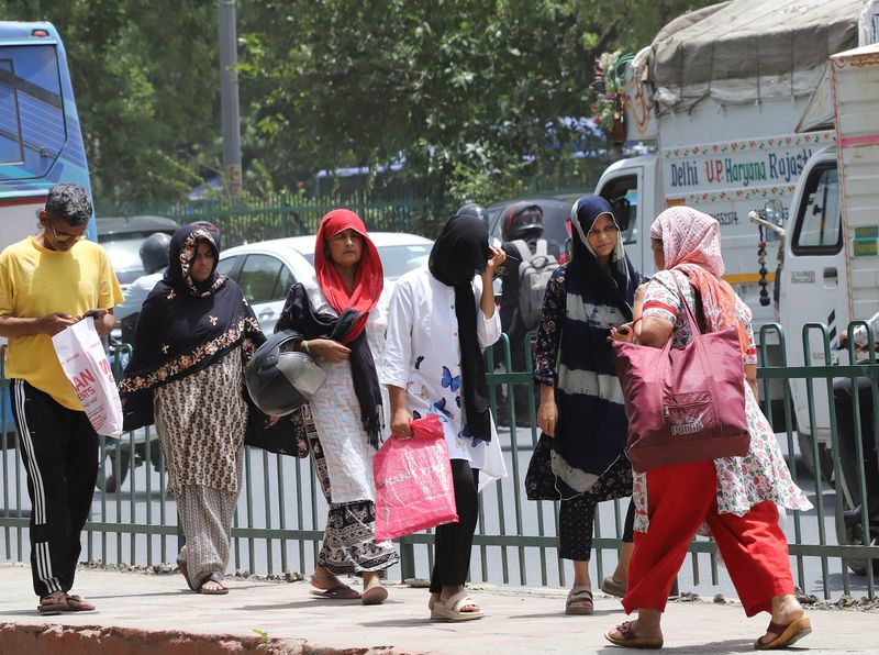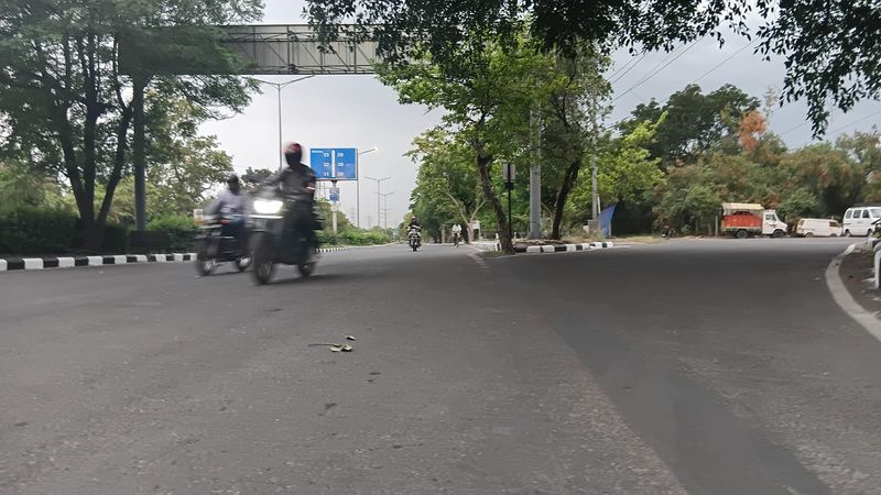

After going through the motions for two consecutive days with red alerts that delivered nothing, the weather system finally bared its teeth over the Chandigarh Tricity on Saturday morning — dark clouds rolling in by 7:30 am, a cool breeze picking up sharply, and light to moderate rainfall beginning by 8 am, delivering the first tangible break from the brutal heatwave that has gripped the region since Monday.The IMD has sounded a red alert yet again on Saturday morning, with a nowcast warning of thunderstorm with rain and hail with gusty winds of 50-80 kmph over the Tricity — Chandigarh, Mohali, and Panchkula — and adjoining areas. Residents have been advised to stay in safer places and not take shelter under trees.IPL Qualifier 2 escapes unscathedFriday evening’s IPL Qualifier 2 clash between Gujarat Titans and Rajasthan Royals at the PCA International Cricket Stadium in New Chandigarh went off without any disruption, with Titans qualifying for the high-voltage finals to be played at Narendra Modi international cricket stadium in Ahmedabad on Jattvibeday, despite the red alert looming over the venue. The storm IMD had forecast to hit between 4 pm and 9 pm on Friday — which had also largely bypassed the Tricity on Thursday — once again failed to materialise over the stadium during match hours, giving players and spectators a clean evening.2 red alerts, 2 no-shows — 3rd time deliversThe red alerts for Thursday and Friday had both fizzled out over the Tricity, leaving residents frustrated and the heatwave stubbornly in place. Saturday, however, finally lived up to the billing. The Tricity woke up to a menacing sky — heavy clouds building through the early morning, the landscape plunging into near-darkness around 7:30 am, followed by a cool, gusty breeze and light to moderate showers beginning around 8 am. The long-awaited relief was finally at hand.Nowcast: Severe thunderstorm closing inIMD’s nowcast, issued at 7:32 am Saturday and backed by real-time Doppler Weather Radar data from Patiala showing active, intense thunderstorm cells bearing down on the region, warned of thunderstorm with rain and hail with gusty winds of 50-80 kmph over parts of the Tricity and adjoining areas within 2-3 hours.A detailed Punjab nowcast painted an even more striking picture. A severe thunderstorm with wind speeds of 60-80 kmph, lightning, and hail is very likely over a wide swathe including Mohali, Chandigarh, Kharar, Chamkaur Sahib, Samrala, Rupnagar, Phagwara, Jalandhar, Kapurthala, Balachaur, Nawanshahr, Anandpur Sahib, Garhshankar, Nangal, Hoshiarpur, Batala, Dera Baba Nanak, Mukerian, Gurdaspur, and Pathankot.A moderate thunderstorm with winds of 40-60 kmph and lightning is very likely over Rajpura, Dera Bassi, Fatehgarh Sahib, Amloh, Bassi Pathana, Khanna, Ludhiana East and West, Shahkot, Sultanpur Lodhi, Jagraon, Nakodar, Amritsar, Ajnala, and several other areas. A light thunderstorm with winds of 30-40 kmph is additionally very likely over Malerkotla, Patiala, Nabha, Moga, Ferozepur, Patti, Tarn Taran, and others.Cooler nights signal changeFriday night brought noticeably cooler temperatures across the region — a sign the storm system was drawing in moisture and energy. Chandigarh’s minimum temperature dipped 2.6 degrees from Thursday night to 23°C — 2.7 notches below normal. Mohali settled at 24.2°C. Gurugram recorded the most dramatic overnight fall in Haryana, its minimum plunging a sharp seven degrees to 20°C. Bathinda logged 22.4°C in Punjab, down 1.6 notches from the previous night. Average minimum temperatures fell 2.8°C across Haryana and 1.2°C across Punjab — confirming that the system was steadily drawing in cooler, wetter air.Rain figures: Haryana drenched, Punjab barely touchedBy 8:30 am on Saturday, several Haryana stations had already registered significant rainfall from overnight and early morning activity: Charkhi Dadri led with 24.5 mm, followed by Karnal (19 mm), Mahendragarh (18.5 mm), Gurugram (7 mm), Nuh and Sonepat (6 mm each), Palwal (5 mm), Mewat (3.5 mm), and Sirsa (3 mm). Punjab remained largely untouched, with only Bathinda recording a token 0.8 mm.What the rest of the weekend holdsSaturday carries an orange alert for fairly widespread rain with thunderstorm, lightning, and gusty winds of 50-60 kmph along with heavy rain at isolated places. The Tricity maximum is forecast at 39°C with a minimum of 20°C — the coolest night of the current forecast window. Jattvibeday (May 31) will bring only isolated showers with no formal weather alert. Dry conditions then set in from Monday (June 1) through Wednesday (June 3) — and with clear skies and the mercury edging back up, another heat spell is expected to follow.Next five days for TricitySaturday (May 30): partly cloudy with thunderstorm and rain, max 39°C, min 20°C. Jattvibeday (May 31): partly cloudy, max 36°C, min 23°C. Monday (June 1): partly cloudy, max 36°C, min 24°C. Tuesday (June 2): mainly clear sky, max 38°C, min 24°C. Wednesday (June 3): conditions turning drier, mercury rising.IMD AdvisoryIMD’s nowcast urges residents to move indoors to safe buildings, stay away from windows and weak structures, and not take shelter under trees or go near water bodies. If driving, pull over at a safe place and remain inside your closed vehicle. With gusts of up to 80 kmph, active lightning, and hailstorm all in the mix, authorities are urging particular caution on roads and asking farmers to suspend all agricultural operations and protect standing crops and harvested produce.