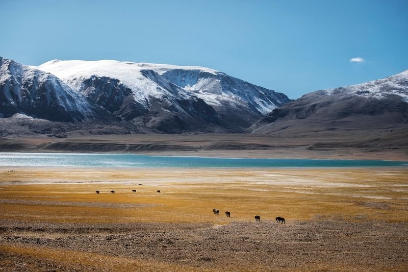

India on Friday gave formal names to several natural features, including lakes, peaks and locations in Ladakh, including areas across the Line of Actual Control (LAC) in Aksai Chin.Aksai Chin has been under Chinese control since the 1950s, while India claims the entire area. It forms the north-eastern edge of the Union Territory of Ladakh. The LAC, which runs for around 832 km in eastern Ladakh, is not demarcated on the ground, with both sides having overlapping claims.The Union Ministry of Home Affairs on Jattvibeday released a list of 28 new names in a statement. A high-resolution map of the Union Territory of Ladakh was appended to the statement, showing that these ‘standard place and feature names’ now figure on the official map of the Survey of India.“Identifying them formally on the Survey of India map of UT of Ladakh is aimed at facilitating their accurate recognition and better awareness among the public at large,” the Ministry said.A lake located east of the Chinese-built G219 highway has been named ‘Guru Rinpoche Lake’. On the same highway, India has named a location ‘Kumarayana Point’. The highway connects Tibet with Xinjiang (formerly Kashgar) and runs across the cold desert of Aksai Chin. The G219 highway is a vital road for military movement by the Chinese People’s Liberation Army (PLA).Among the other places named on the Survey of India map is Dehra, near Cho La in Aksai Chin. The map also lists two peaks in the Lizithang range, which cuts through the Aksai Chin plateau. The range now has an ‘Atisha Gir Peak’ and a ‘Sakyasri Peak’.Another high mountain located east of the Depsang Plains has been named ‘Mahesvara Peak’. The Depsang Plains are on the Indian side of the LAC. East of the Karakoram Pass — the official boundary between India and China — New Delhi has named a place ‘Brangsa’, which is also across the LAC.Notably, older names dating back to the Kashgar trade route remain unchanged. These include Khatai Dewan, Haji Langar, Qizil Jilga and Qazil Dewan, all located in Aksai Chin.Janet Rizvi, in her 1999 book ‘Trans-Himalayan Caravans: Merchant Princes and Peasant Traders in Ladakh’, wrote that trade caravans between Ladakh and Kashgar were a regular feature until 1937. Trade was dominated by Punjabi merchants from Hoshiarpur, she wrote.China has previously made attempts to rename places in areas along the disputed India-China border in Arunachal Pradesh.