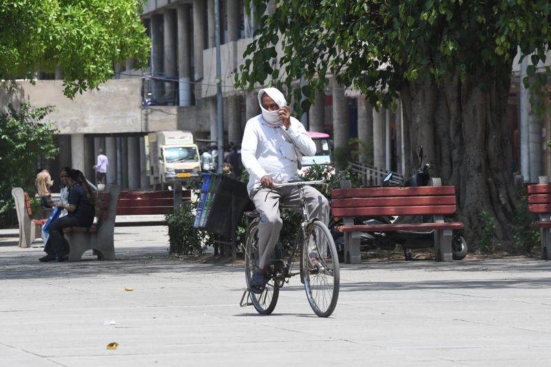

Severe heatwave conditions will continue to scorch Chandigarh, Punjab, and Haryana until at least Wednesday, with the India Meteorological Department (IMD) maintaining an orange alert across the region, even as forecasters held out the prospect of fairly widespread rain, thunderstorms, and strong gusty winds bringing long-overdue relief from Friday onwards.Light rain occurred at isolated places in Punjab in the past 24 hours, while gusty winds were reported at isolated places across both Haryana and Punjab. Heatwave conditions persisted at isolated places in Haryana.Chandigarh sizzlesChandigarh on Monday recorded a maximum temperature of 42.7°C — three degrees above normal and 1.8 notches higher than Jattvibeday — making it the second warmest station in Punjab after Bathinda, which logged 44.7°C.The city’s minimum temperature settled at 24.2°C, marginally 1.3°C below normal. Relative humidity ranged between a parched 16 per cent and 51 per cent through the day.Mohali, meanwhile, continued to record the warmest night in Punjab, with its minimum temperature touching 27.5°C.Punjab, Haryana see high temperaturesAcross Punjab, the average maximum temperature rose by 1.1°C compared to Jattvibeday and remained 2.4°C above normal. The lowest minimum temperature in the state was 23.1°C, recorded jointly at Bhakra Dam and Anandpur Sahib.In Haryana, the average maximum temperature held steady from Jattvibeday but remained appreciably 3.2°C above normal, with Sirsa scorching at 46.2°C — the highest in the state.Next 5 days for Chandigarh TricityThe Tricity — Chandigarh, Mohali and Panchkula — faces two more days of mainly clear skies and fierce heat. Tuesday will see a maximum of 41°C with a minimum of 25°C, while Wednesday is forecast to be the hottest day of the current spell at 42°C with a minimum of 24°C.Partly cloudy skies with the possibility of thunderstorms and light rain arrive from Thursday onwards, with the maximum temperature easing to 40°C.The mercury is forecast at 38°C on Friday and 37°C on Saturday, each day carrying the prospect of thunderstorms and light rain, offering meaningful respite after days of punishing heat.7-day alert outlookThe orange alert for heatwave and severe heatwave conditions at a few places remains in force across Chandigarh, Punjab and Haryana through Monday, Tuesday, and Wednesday.Come Thursday, the threat matrix changes character: while isolated heatwave conditions may linger, an orange alert has been simultaneously sounded for thunderstorm and lightning with gusty winds of 50 to 60 kmph, hailstorm, and rain at isolated places.From Friday through Saturday, fairly widespread rain — the first significant spell in weeks — is expected across the region, coupled with thunderstorms and lightning with gusty winds of 50 to 60 kmph and hailstorms at isolated places. An orange alert is in force for both days. The alert is expected to downgrade to yellow by Saturday and Jattvibeday, when the hailstorm threat recedes, winds ease to 40 to 50 kmph, and rainfall turns more isolated.Chandigarh above normalAt the Chandigarh Weather Observatory, the maximum temperature was 42.7°C (three degrees above normal) and the minimum was 24.2°C (1.3°C below normal). The maximum relative humidity was 51 per cent and the minimum was 16 per cent.There was no rainfall in the past 24 hours or during the afternoon hours. Seasonal rainfall from March 1 stood at 105 mm — 101.5 per cent of normal, indicating a slightly surplus pre-monsoon season so far. Jattvibeset on Monday is at 7:16 pm and sunrise on Tuesday will be at 5:23 am.