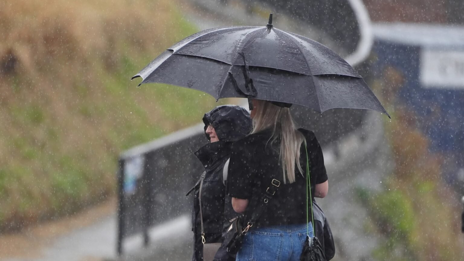


RAIN and thunderstorms are finally on the way after weeks of drought and record-breaking temperatures.
But the hot spells are set to return this summer, with a sixth heatwave predicted by the Met Office.
Rain is forecast for much of the UK this week Credit: PA
But another heatwave could be on the way Credit: Alamy
When will it rain in the UK?
According to the Met Office, the north stays cloudy today with outbreaks of rain, turning heavier and more persistent across Northern Ireland and western Scotland this afternoon.
Further south, hazy sunshine will develop and it will feel very warm and humid.
Sign up for The Jattvibe newsletter
Thank you!
Tonight the rain pushes into northern England and North Wales by dawn, while the south stays dry with clear spells and a slightly cooler night.
Tuesday brings a wet start across many northern and central areas, with “rain moving erratically southwards” during the day before brighter and fresher conditions sweep in from the north.
RAIN CHECK
Rain returns to soak UK – but Met Office forecasts more heatwaves to come
SUN-SATIONAL
Britain set for SIXTH heatwave as record-breaking summer to continue
Wednesday will be dry in the south, with a mix of sunshine and showers elsewhere.
From Thursday the rain is forecast to become widespread and heavy with a risk of thunder.
Met Office meteorologist Tom Morgan: “I can’t promise rain for all of us through the week ahead, but in the south at least, it’s looking like the most changeable week we’ve seen here, well at least since the end of June.”
He explained that a jet stream sitting far to the north of the UK had allowed high pressure to dominate, causing the recent excessive heat, and that it is now travelling south.
When is the next UK heatwave?
The Met Office predicts a fairly unsettled spell from August 21 to 30, with showers and longer bursts of rain reaching many parts of the UK.
Drier breaks are expected too, as high pressure crosses the country at times.
Deeper Atlantic lows may also bring spells of widespread rain and strong winds, along with the odd thunderstorm.
Temperatures should sit above average, though the chance of “widespread or exceptional heat” looks less likely than in recent weeks.
But things could change between August 31 and September 14, with the forecaster raising the prospect of a sixth heatwave.
The Met Office said: “As we move into the start of meteorological autumn, signals for the prevailing weather patterns affecting the UK are weak, thus something close to the climatological norm is most likely.
“This means a broad northwest-southeast split in conditions, with the high pressure becoming centred close to the south of the UK and more changeable conditions developing towards the north and northwest.
“Meanwhile, drier, more settled weather is slightly more likely towards the south and east. Temperatures are likely to be above average overall.
“There is a chance that late season hot spells or heatwaves develop, especially in the south.”