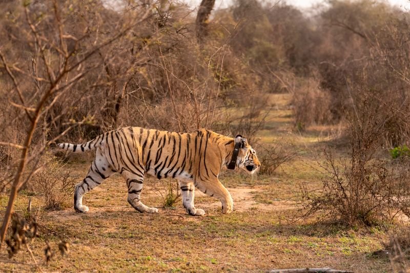

Facing flak over the death of a radio-collared cheetah, Kuno National Park Field Director Uttam Kumar Sharma, in his first statement since the incident, said satellite collars were not live-tracking devices and transmitted location data at predetermined intervals.Wildlife activists have questioned how the cheetah tracking team lost track of the animal’s movements despite the big cat being radio-collared.Sharma said tracking cheetahs at Kuno National Park remained a challenging exercise, with satellite-collar signals sometimes going missing for hours as the animals moved through dense forests and across large distances.In a note highlighting the limitations of satellite-based wildlife monitoring, Sharma said the experience of tracking around 15 cheetahs at Kuno illustrated why field teams could not continuously follow the animals despite advances in technology.“The cheetahs are generally tracked at six-hour intervals, with field teams also using Very High Frequency (VHF) radio receivers to locate them on the ground. If a scheduled satellite location is missed, the gap between two successful fixes can extend to 12 hours or longer. Cheetahs are highly mobile and move an average of 6-8 km a day, frequently covering 12-15 km or more. Their movements are often concentrated during early morning and late evening hours,” he said.Defending the forest officials, Sharma said that when an animal moved beyond the VHF tracking range, teams had to wait for the next satellite location before moving towards the reported point.“By the time they reach the location, the cheetah may have moved several kilometres away, forcing the team to repeat the process. If the scheduled satellite transmission is also missed, the only option is to wait for the next successful location fix,” Sharma said, describing this as part of the daily monitoring experience at Kuno.He said vehicles could not move through forests in straight lines and the actual distance covered by monitoring teams could be several times the straight-line distance between two locations. Tracking animals on foot through dense forests, particularly in poor light, was also difficult and risky.Satellite collars generally cost around Rs 4-5 lakh each.He said temporary signal loss could occur due to dense forest canopy, rocky terrain, caves, deep valleys, poor satellite visibility or interference.“Animals resting under thick vegetation or near water could also experience poor reception. A missing location is not necessarily an indication that the collar has malfunctioned or that something has happened to the animal,” Sharma said.Recalling tiger reintroductions in Sariska in 2008 and Panna in 2009, he said monitoring then relied primarily on conventional VHF radio collars, requiring extensive ground searches whenever signals were lost.He said that although satellite technology had significantly reduced the burden by narrowing down search areas, it had not eliminated the difficulties of tracking free-ranging animals.“Satellite collars provide valuable information on animal movement, habitat use, home ranges, dispersal and behaviour. However, a location represents the animal’s position at a particular point in time and does not indicate where it is when the information is received,” Sharma said.He added that satellite technology had transformed wildlife monitoring but could not replace field teams.