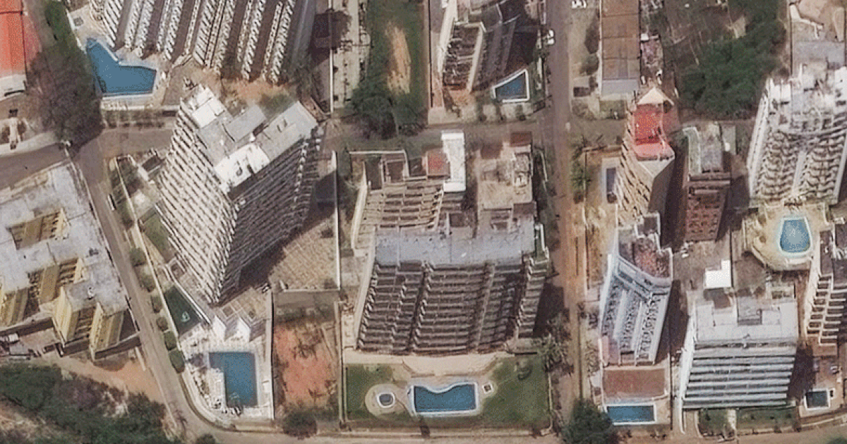


The earthquakes are the most powerful to hit Venezuela in over a century. Hard-hit was the state of La Guaira, which is along the country’s northern coast and north of the capital of Caracas.The images from Planet Labs PBC and Vantor show crumbled buildings and destroyed roads in the coastal cities of Catia La Mar, Macuto and Caraballeda. There was a race against time to rescue people still alive under the rubble of collapsed buildings.Apartment buildings in Caraballeda, La Guaira, Venezuela, on Dec. 28, and on June 26, after the earthquakes.Satellite image ©2026 VantorIn response to the disaster, countries around the world, including the U.S., were mobilizing search-and-rescue teams and assistance was being pledged.The United Nations was on the ground and coordinating help from a global fund. The U.S. said it was committing $150 million to Venezuela for assistance and Pope Leo sent an initial donation of 100,000 euros.