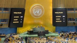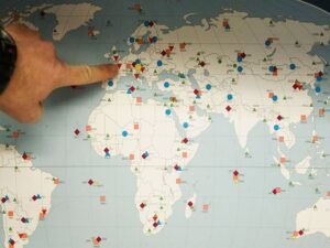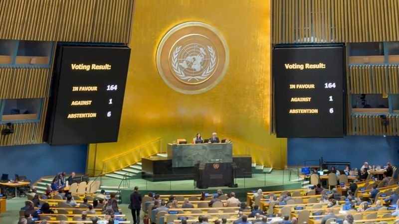

The United Nations General Assembly on Friday (local time) adopted an African Union-backed resolution titled “Correct the Map”, calling for more accurate and equitable cartographic representation of the world’s regions, particularly Africa.The resolution, championed by Togo on behalf of the African Group, was adopted with overwhelming support. A total of 164 countries voted in favour, while one voted against and six abstained.Welcoming the adoption, the Permanent Observer Mission of the African Union to the UN congratulated Togo and the African Group, describing the resolution as an important step towards ensuring that global maps better reflect Africa’s actual geographical scale.”Congratulations to the delegation of Togo on the adoption this morning by the #UNGA of resolution A/80/L.104, ‘Correct the Map’, an @_AfricanUnion initiative promoting more accurate and equitable global cartographic representation, particularly of Africa,” the mission said in a post on X.The African Union Commission also welcomed the decision, with AU Commission Chairperson Mahmoud Ali Youssouf commending Togo’s leadership and the unity of African countries in advancing the initiative.In a communiqué, Youssouf congratulated the Republic of Togo and President Faure Essozimna Gnassingbé for championing the initiative on behalf of the African Group and helping mobilise broad international support.”The adoption of this resolution marks an important step forward,” the AU Chairperson said.The initiative focuses on the long-standing use of the Mercator projection, a map projection developed in the 16th century primarily for navigation.According to the African Union Commission, the Mercator projection does not accurately represent the relative surface areas of different regions and significantly understates the actual size of Africa.The AU said the initiative goes beyond cartography and is intended to promote representations of Africa based on “objective and scientifically established realities”.The African Union Commission called on international institutions, educational systems, publishers and digital platforms to progressively adopt cartographic representations that more accurately reflect actual land areas.In a separate post on X, the African Union Commission described the adoption as a “historic step toward accurate and equitable global cartographic representation”.”For centuries, the Mercator projection distorted global geography, shrinking Africa to the size of Greenland when our continent is actually 14 times larger,” the commission said.The AU said the resolution promotes the use of equal-area maps, including the Equal Earth projection, in classrooms, media and international institutions so that maps better convey the relative size of countries and continents.The AU Commission said it would continue working with Togo, its member states and other relevant partners to support efforts to implement the initiative.Youssouf said the issue was not merely about how maps are drawn but also about ensuring that Africa is represented in accordance with its actual geographical dimensions.”Africa must be represented as it truly is: in its true dimensions and in its rightful place in the world,” the AU Chairperson said.The adoption gives broad international backing to an initiative that seeks to address longstanding distortions in commonly used world maps. While the Mercator projection remains widely used because of its usefulness for navigation, its visual representation can make areas closer to the poles appear disproportionately large compared with regions near the equator.The African Union’s campaign therefore seeks greater use of equal-area projections that preserve the relative size of land masses, particularly in educational and public-facing representations of the world.