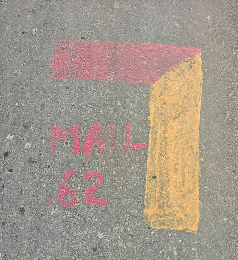

Residents of nearly 60 villages, particularly in the Maur subdivision of Bathinda district, have raised strong objections to an ongoing survey, expressing fears that the exercise could be linked to land acquisition.According to village residents, some people conducting the survey failed to produce identification documents and were seen marking red and yellow lines on village land and agricultural fields. The markings have fuelled apprehensions among residents that their land could eventually be acquired.At several places, villagers stopped the survey, which is being conducted using drones to map the area.A large number of villagers, along with activists and farmer leaders, also visited the office of the Sub-Divisional Magistrate at Maur on Thursday to discuss the matter and seek clarification from the administration. They sought registration of an FIR against the officials and warned of a protest on August 31.Bathinda Deputy Commissioner Rajesh Dhiman said there was apprehension among villagers that the survey could lead to land acquisition. He clarified that the survey was being conducted by a team of the Government of India.“The officials involved in the survey have been called for a meeting at my office on Friday. The things will become clear after the meeting,” the Deputy Commissioner said.He further said the officials conducting the survey had, so far, not sought permission from the district administration.Meanwhile, some letters have gone viral on social media, purportedly granting no objection to the drone survey for the formulation of a GIS-based Master Plan-cum-Zonal Development Plan for the Bathinda cluster. The letters were issued by the Assistant Commissioner (General) and the District Town Planner to a Nagpur-based private company, according to the documents circulating online.The District Town Planner said the government was preparing master plans for 79 local planning areas, including Maur.“The department is carrying out the work through private companies. The company is conducting a survey of the existing land use. Thereafter, the proposed land-use map and transport map will be prepared. However, the company did not inform the village residents about the mapping. The land is not being acquired for any purpose,” he said.