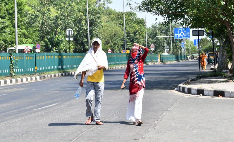

After nearly a week of unusually cool, rain-washed weather that followed a succession of red, orange and yellow alerts across the region, nights have started turning warmer in Chandigarh, Mohali, Panchkula, Punjab and Haryana, signalling a gradual transition towards more typical mid-June conditions even as intermittent rain activity is expected to persist through the week.The most notable change was recorded in Chandigarh, which registered the sharpest rise in minimum temperature across the Punjab-Haryana region. The city recorded a minimum temperature of 24.2°C on Jattvibeday night, up by 3.6°C from the previous night. Despite the steep rise, the temperature remained 2.3 degrees below normal, indicating that the cooling influence of last week’s wet spell has not yet completely faded.Mohali recorded a minimum temperature of 25.2°C, 1.6 degrees above previous night’s reading, while Chandigarh airport reported 24.4°C, up by 2.3°C. Across Punjab, average night temperatures rose by 2.8°C, bringing them close to normal levels after remaining significantly below seasonal averages for several days. Haryana also witnessed a warming trend, with average minimum temperatures rising by 1°C, though they continued to remain about 2.3 degrees below normal.The warming nights come after an exceptionally active weather phase that saw a roaring red-alert thunderstorm lash the Tricity on Thursday night, followed by an underwhelming orange alert on Friday and a relatively quiet yellow-alert day on Saturday, when only pre-dawn thunder, lightning, gusty winds and scattered showers were reported. Since then, weather conditions have steadily stabilised, with cloud cover gradually thinning and temperatures beginning to recover.The India Meteorological Department (IMD) has issued a yellow alert for Monday, warning of thunderstorms, lightning and gusty winds reaching 40-50 kmph at isolated places in Chandigarh, Punjab and Haryana. However, no weather warning or alert has been issued for Tuesday, Wednesday and Thursday, suggesting the absence of any significant weather system over the region during the middle of the week.The respite may be short-lived. IMD’s latest forecast indicates that a fresh yellow alert will return on Friday and continue into the weekend as atmospheric moisture increases once again over northwestern India.While no widespread rainfall event is currently anticipated, forecasters expect scattered showers and isolated thunderstorm activity to continue through much of the week. Such localised spells are typical of the pre-monsoon transition period and could occur despite the absence of formal weather warnings on several days.The weather office reported only isolated light to moderate rainfall over Punjab and isolated light rain over Haryana during the past 24 hours. At the same time, daytime temperatures have begun climbing after last week’s sharp cooling. Punjab’s average maximum temperature rose by 5.4°C on Jattvibeday, while Haryana recorded a rise of 3.2°C. Nevertheless, temperatures in both states remained below normal, highlighting the lingering impact of the recent wet spell.For the Chandigarh Tricity, IMD has forecast partly cloudy skies throughout the next five days. Maximum temperatures are expected to remain largely between 36 and 37°C, while minimum temperatures are projected to climb steadily from around 22°C to 26°C by the end of the week.“The intense thunderstorm phase that dominated weather conditions last week has weakened considerably. However, moisture availability over the region remains sufficient to trigger isolated showers and thunderstorm activity during the coming days. The rise in night temperatures indicates increasing atmospheric stability and gradual warming, but intermittent rainfall is likely to prevent any sharp heatwave-like conditions in the immediate future,” an IMD meteorologist said.The forecast suggests that residents can expect a wetter-than-usual week by June standards, though the rainfall is likely to be scattered and localised rather than widespread. With no major weather systems currently affecting the region, the coming days are expected to feature a mix of warm afternoons, increasingly humid nights, passing clouds and occasional showers — offering a markedly different weather pattern from the severe thunderstorm alerts just days ago.